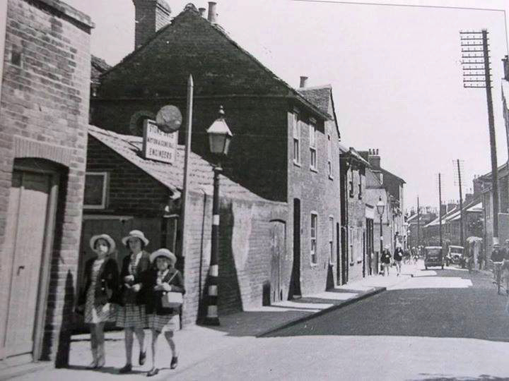
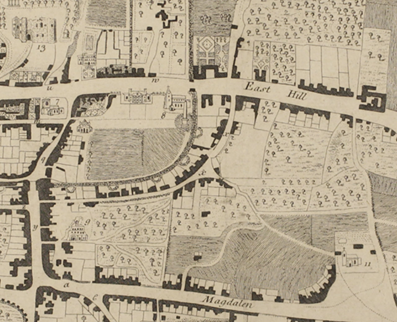
This is a map from 1748 with most of the houses on the north side of the street (map source Essex Record office)
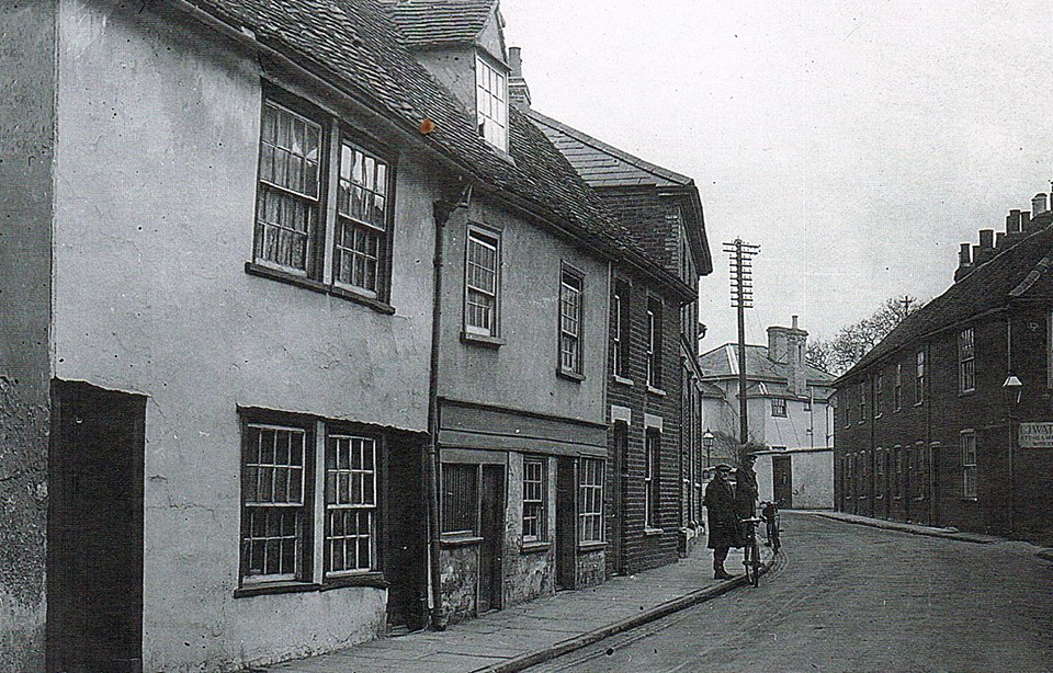
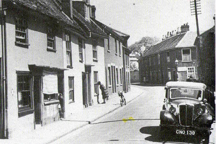
The Colchester Archeological Trust (CAT) has made an inventory of the buildings in Priory Street (south side). This is the link to the website click/tap here, it starts with no 1a, 1b Priory Street . For the north side of the street, click/tap here.
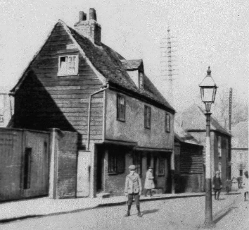
There is also an inventory for St Julian Grove, alas with little descriptions of the buildings. East side click/tap here, west side click/tap here and south side click/tap here.
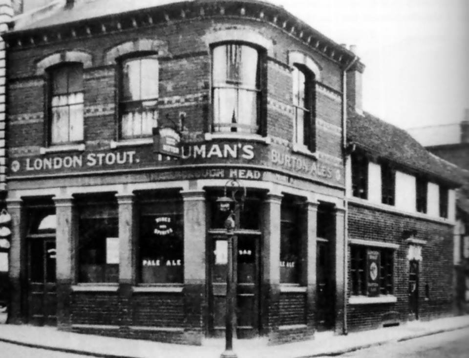
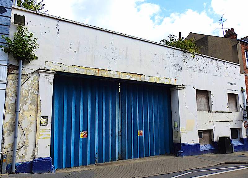
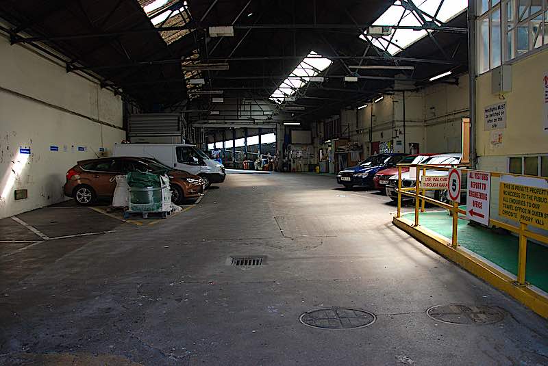
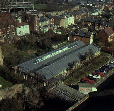
Queen Street had a theatre, The Theatre Royal, it burn down in 1918. It became later a bus depot (see gallery above). For more info about the theatre click /tap here.
WB uses links to the original stories from e.g. the Gazette, Colchester Council, Essex Highways, Colchester Archeological Trust and Civic Society websites.
© 2025 Impulsive Artists